This is a SEO version of Nutrient Management Planning Guide. Click here to view full version
« Previous Page Table of Contents Next Page »77
Chapter 3.2
Using Aerial Photos for Nutrient
Management Planning
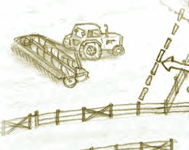
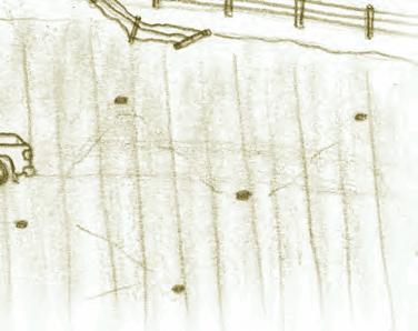


Use aerial photos to identify major •
permanent features in a field. Estimate distances and land areas on aerial •
photos of known scale. Order air photo products from the Provincial •
Government’s Air Photo Distribution Office.
learning objectives
This is a SEO version of Nutrient Management Planning Guide. Click here to view full version
« Previous Page Table of Contents Next Page »